Geospatial intelligence will define future warfare, says Mizoram Governor General VK Singh at GeoSmart India Conference and Expo 2025
Dec 03, 2025
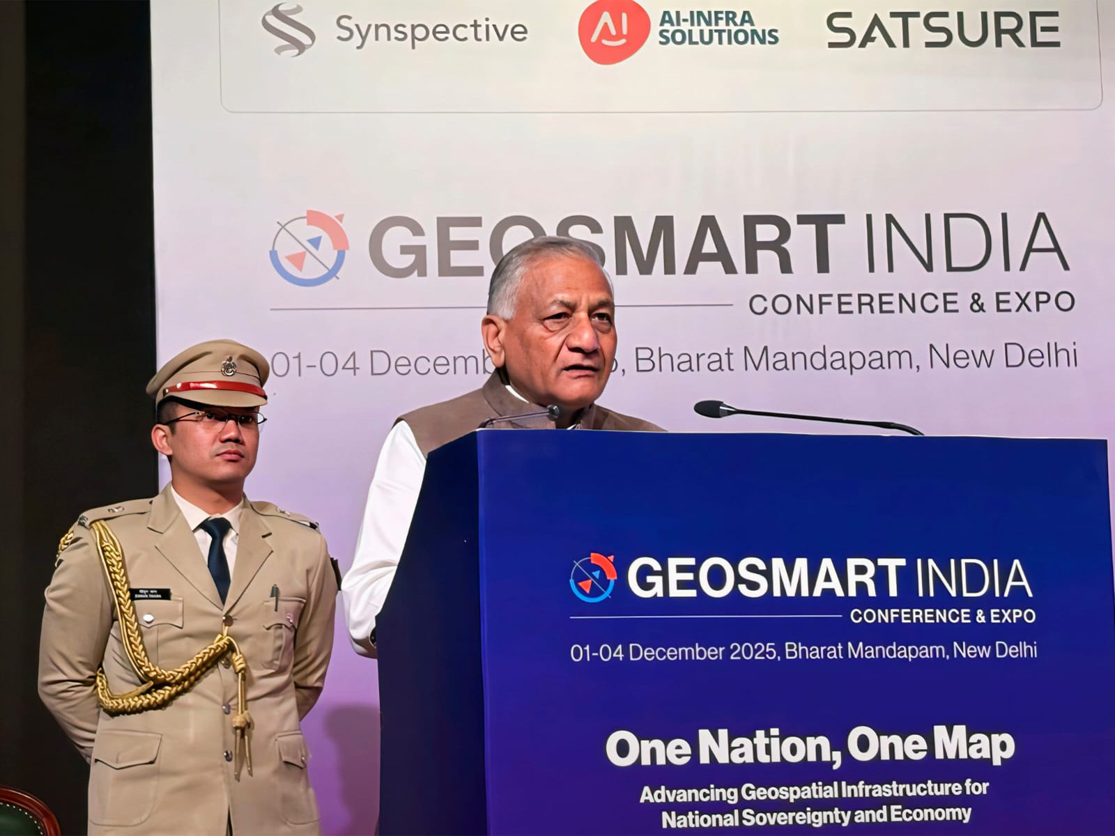
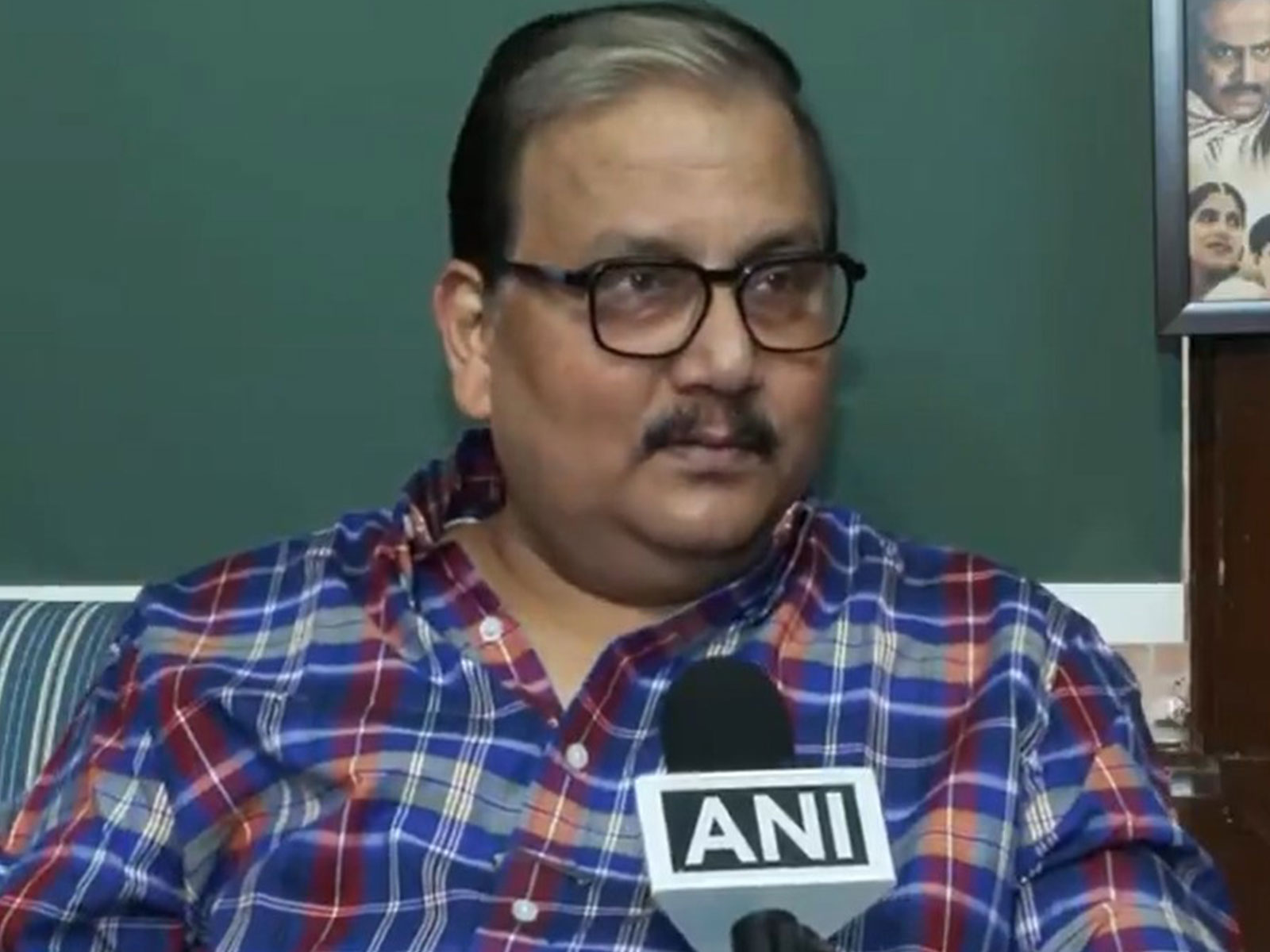
New Delhi [India], December 3 : Mizoram Governor General (Retd) Vijay Kumar Singh described geospatial intelligence as the invisible force that will spell success in future warfare, calling for integration, resource reorganisation, and professional understanding within a technology-driven armed force at a high-level session on "Defence & Internal Security: Geospatial Intelligence for Strategic Preparedness", according to an official release.
He also noted that India's defence transformation must focus not only on technological adoption but also on converting innovation into capability.
The GeoSmart India Conference and Expo 2025 was organised by Geospatial World at Bharat Mandapam, New Delhi.
The discussion brought together senior defence leaders, policymakers, and industry experts to explore how geospatial intelligence, artificial intelligence (AI), and advanced digital technologies are reshaping India's defence landscape and driving the nation's march toward self-reliance and operational superiority.
With indigenous startups entering the satellite domain and the Armed Forces adopting GIS-enabled systems, digital twins, and AI-driven battlefield analytics, geospatial technology has moved from being a support tool to an operational necessity, enhancing national resilience, border management, and disaster response, the release stated.
Lt Gen Vikas Rohella, Engineer-in-Chief (E-in-C), emphasised that India's defence ecosystem is rapidly advancing toward technological excellence through the integration of geospatial intelligence, AI, and unmanned platforms
He underlined that the battlefield of tomorrow will belong to those who see first, understand first, and act first, a vision defining the next generation of warfare readiness.
Meanwhile, offering a strategic global lens, Brig Arun Sahgal, PhD (Retd.), reflected on the rapidly shifting power dynamics shaping the world order. The global geopolitical landscape, he noted, is evolving into a mix of US-led unipolar ambitions, a rising US-China bipolar rivalry, and a constrained yet consequential Russia shaping a tripolar balance.
Within this fluid environment, India stands out as the only major Asian power outside these blocs, a standalone nation with deep regional influence and growing global significance, the release noted.
With China's expanding footprint across Asia, India's strategic centre of gravity must remain anchored in the Indo-Pacific, ensuring maritime security and open sea lanes, while maintaining autonomy in foreign policy grounded in national interest and security imperatives.
GeoINT, combining imagery, terrain analysis, spatial data, AI, and multi-source intelligence, translates vast information into actionable insights, enabling commanders to see, understand, and act faster.
Every domain - land, air, maritime, cyber, and space - depends on geospatial awareness for mission success. As India secures over 15,000 kilometres of borders and 7,500 kilometres of coastline, integration, professionalism, and predictive spatial analysis will shape decision superiority in an era where technology empowers, but professional mastery defines victory.
The session concluded with a shared understanding that geospatial intelligence has become the strategic backbone of modern defence, enhancing situational awareness, interoperability, and decision-making in real time.
By fostering collaboration among government, military, academia, and industry, GeoSmart India 2025 reaffirmed India's commitment to building a secure, intelligent, and technologically empowered defence ecosystem.