Yamaha develops unmanned helicopter for forest monitoring system
Dec 24, 2021

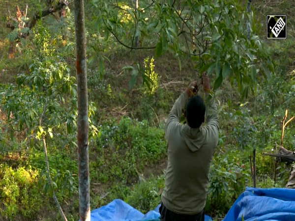
Tokyo [Japan], December 24 : Yamaha has developed a forest monitoring system using an unmanned helicopter.
Equipped with cameras and equipment to measure light reflections, helicopters will help to measure the topography as well as tree density, alignment, numbers, and trunk diameters.
This unmanned helicopter can measure forest ranging from 100 meters high and up to 100 hectares.
Once every two seconds, taking picture of the forest directly. The helicopter moves slowly. It enables them to take pictures whole of the forest. It is very useful to fix all the boundaries.
"By using unmanned helicopters that have been developed for 30 years, we will reduce the labour to reveal the forest conditions, using unmanned helicopter system. It also provides more efficient and accurate access to data. It is consistent with the "Smart Forestry Initiative" promoted by the Japanese government that it will lead to forest maintenance and revitalization of the forestry industry that transports wood," said Kaoru Kato, Official, Yamaha.
Digital data will use a combination of photographs to visualize the forest which includes the surface of earth and forest, its density as well as height difference.
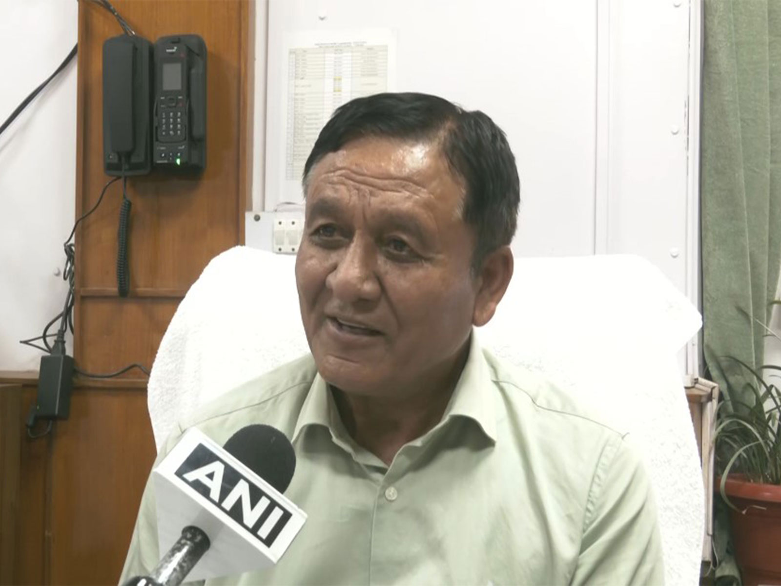
"Point cloud data is a collection of data with XYZ coordinates. As you can see, the actual dots are in the shape of the forest, so the leaf and crown of the tree on the ground are obtained with high preciseness," said Eisaku Seguchi, Official, Yamaha.
Even, big attention is paid from the perspective of natural disasters in forests and mountains.
"From a viewpoint of disaster prevention, the actual place where the slope is collapsing is seen with high definition from above. Identify areas where landslides or to be occurred," said Eisaku Seguchi, Official, Yamaha.
Yamaha is promoting three-dimensional digital forest monitoring systems around the world. It will also contribute to activating forestry and the maintenance of the green forest environment.